TDX · RWP · E57
Opens your scan projects directly
Import a Trimble .tdx project or .tzf folder, a Trimble RealWorks .rwp project with its station color and photospheres, or multi-scan E57, and add more scans to the same workspace later.
 PARADIGM Geospatial
Register, extract, check and deliver point clouds with billions of points.
Surveyor is a Windows workstation for laser-scan production. Bring in your scan projects, register them station by station, trace curbs and linework, set survey points with your feature codes, check the result, and deliver LAS, E57, LandXML and DXF from one project.
Standouts
TDX · RWP · E57
Import a Trimble .tdx project or .tzf folder, a Trimble RealWorks .rwp project with its station color and photospheres, or multi-scan E57, and add more scans to the same workspace later.
Station by station
Every station comes back placed, not placed or unchanged, with the reason. A disconnected part of the network moves only when two independent sets of reference stations agree, and a station the run refuses keeps the position it had.
One stroke
One brush stroke along a curb gives a top-of-curb and a flowline 3D polyline, editable before and after you accept them, with checks for crossings and low curb reveal at review, at Accept and after export.
The built-in assistant runs on your machine and answers only from Surveyor's help and bundled federal survey references, including USACE Engineer Manuals, the USFWS Land Survey Handbook and FGDC standards, with a citation for every answer. When it has no record, it says so.
US survey feet are exact and kept separate from international feet, a file's own metadata never overwrites the coordinate system you declared, and a spatial export without a declared coordinate system is blocked.
Projects keep hash-chained restore points, restoring never destroys work, and when a project moves, its files are re-pointed only when their identity is proven.
In the app
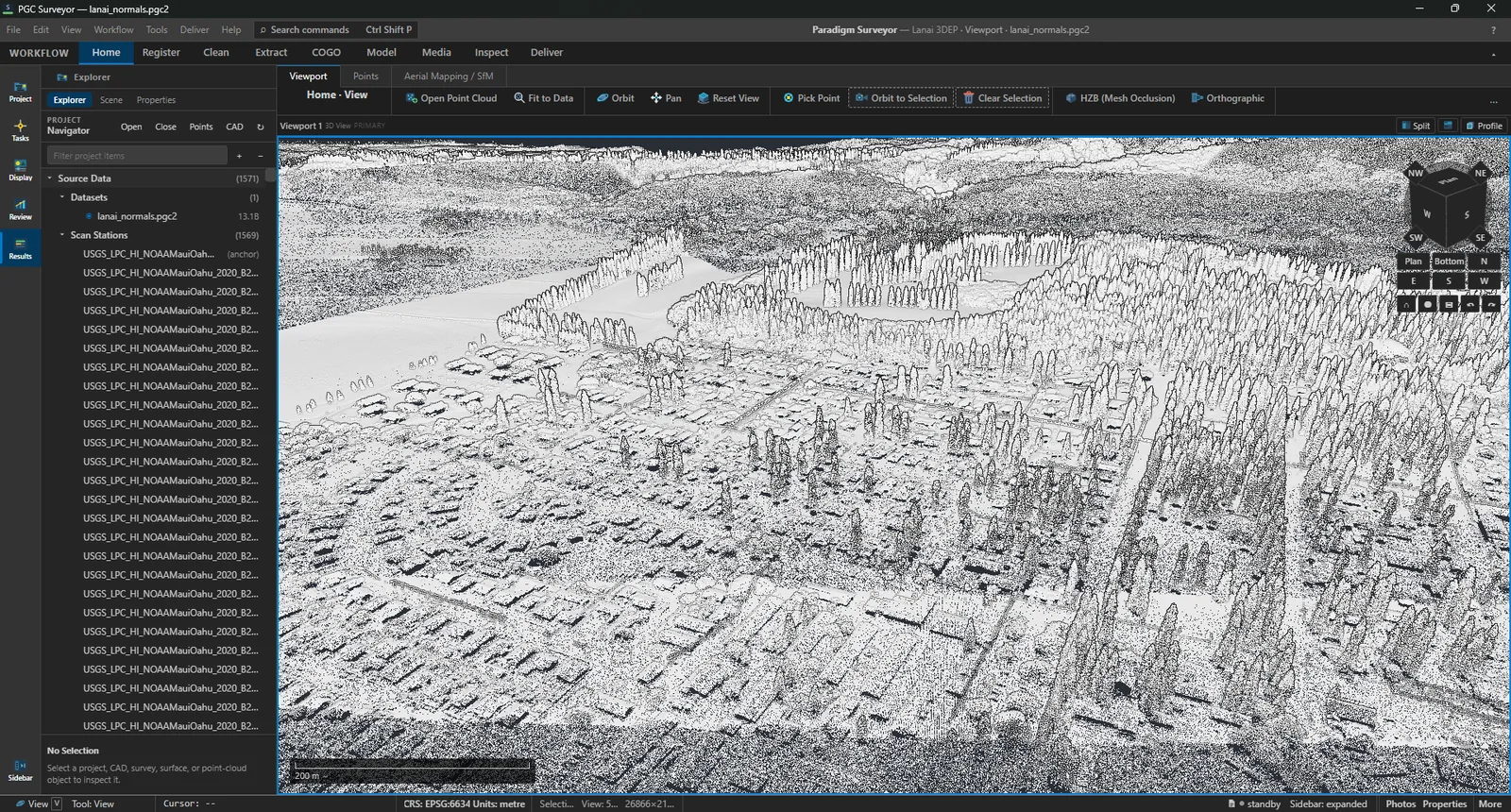
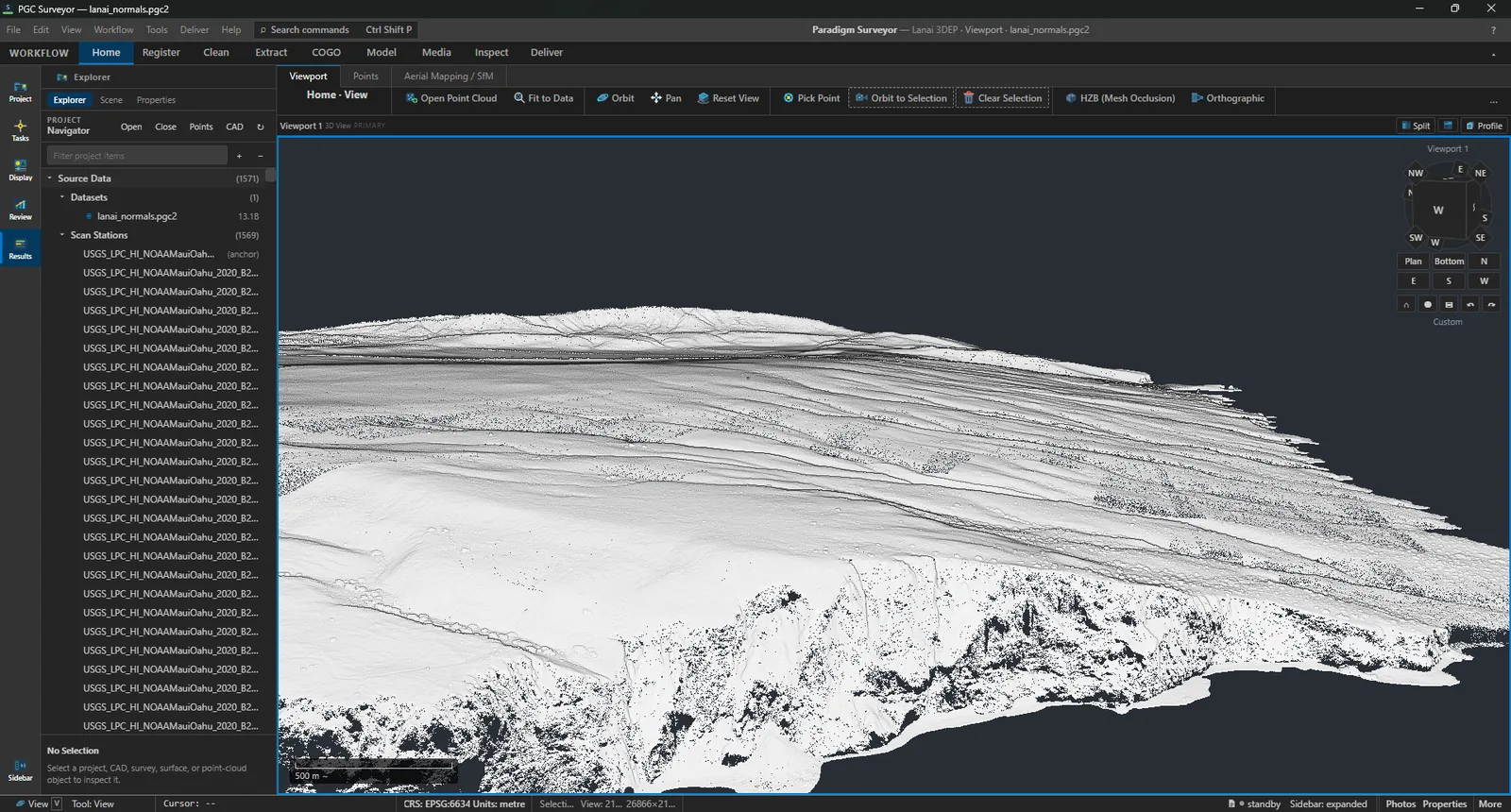
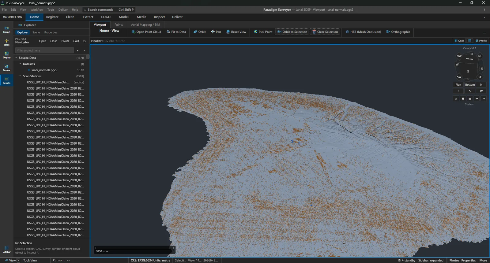
Overview
Surveyor is organized the way a scan job runs: bring the scans in, register them, clean and classify, extract what you will draft, check it, and deliver. Each stage works on the same project, so nothing is exported and re-imported along the way.
Import Trimble and RealWorks projects or E57 scans, place and refine stations with a report for each one, and georeference to your control.
Trace curbs and breaklines with the brush, and set survey points with your Trimble FXL or CSV feature codes to drive field-to-finish linework.
Measure, compare against a surface or an earlier scan, map coverage gaps, and deliver with a manifest of exactly what was produced.
Features
Open LAS, LAZ, E57, PLY (including Gaussian splats), PTS and PTX, or Paradigm Geospatial's own PGC2 and PGCV formats. Import Trimble .tdx projects, .tzf folders and RealWorks .rwp projects, and add scans to an existing workspace.
Place stations automatically, by matched picks in split view or photospheres, by targets, or with a drag gizmo; nothing is written until you commit. Register against references, refine the whole network, and level a station to it.
Lasso, mark noise and assign classes by hand, or classify in one click into ground, medium and high vegetation, building, wire, pole, sign, retaining wall and noise, then turn classes on and off to check the result.
Trace a curb to get top of curb and flowline, draw breaklines on a chosen layer or code, and import or export survey points with column mapping, US survey feet and EPSG reprojection. Trimble FXL or CSV feature codes drive field-to-finish linework.
Inverse, traverse leg, intersection and offset from picked points; DEM and LandXML surfaces with contours, volumes, sections and surface compare; meshes with GLB export; and fly-through video.
Measure distance (3D, horizontal and vertical), path, angle, perpendicular, radial and area; map deviation from a mesh or TIN surface or from an earlier scan; and find coverage gaps.
Profile, preflight, build, validate and publish LAS 1.4, LAZ, E57, PGC2, LandXML 1.2, Shapefile, CSV, DXF linework, a project report and a zipped archive. Each delivery carries a manifest of the profile, lineage, coordinates, software, file sizes and checksums.
The offline assistant answers from Surveyor's help and federal survey references, with citations. An optional agent bridge lets an AI assistant you run work with Surveyor; it is off by default, and every change needs your confirmation.
Specifications
| Component | Minimum | Recommended |
|---|---|---|
| Operating system | Windows 10, 64-bit | Windows 11 |
| Memory | 16 GB | 32 GB |
| Graphics | Vulkan 1.3 GPU from NVIDIA or AMD with 4 GB, such as a GTX 1060 | RTX 3060 or better, 8 GB or more |
| Display | 1920 × 1080 | 2560 × 1440 |
Questions
No. Surveyor draws with Vulkan 1.3 on NVIDIA or AMD graphics and does not use CUDA. AMD RDNA cards work when the driver exposes every Vulkan feature Surveyor needs.
Yes. Surveyor imports Trimble .tdx projects and .tzf folders, and RealWorks .rwp projects with their station color and photospheres, as well as E57.
LAS 1.4, LAZ, E57, PGC2, LandXML 1.2, Shapefile, CSV, DXF linework, a project report and a zipped archive. Every delivery carries a manifest with checksums.
No. The built-in assistant runs on your machine and answers from Surveyor's help and bundled federal survey references, with citations.
Get Surveyor
Surveyor is part of the launch release and is included in every Founders license.